

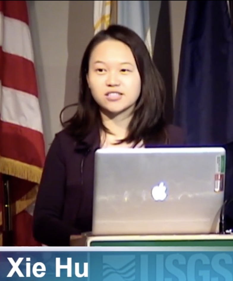
Xie Hu
Title:Tenure-track Assistant Professor
Research Direction: SAR remote sensing | Geohazards | Surface/shallow processes
Department: Department of Physical Geography and Natural Resources
Email:hu.xie@pku.edu.cn
Self Introduction
I am the PI of the Geohazards and Shallow Processes Remote Sensing Lab (GSPRS) at Peking University. We focus on using remote sensing tools, e.g., Synthetic Aperture Radar (SAR), to characterize ground deformation and land alternations associated with geohazards and surface processes in terrestrial planets. We have been working on mapping, measuring, and monitoring landslides, aquifers, dams, mines, coasts, earthquakes, extreme precipitation events, etc. We are also dedicated to investigating their natural or anthropogenic triggerings and environmental forcings using statistical, analytical, numerical models and artificial intelligence (AI). Our multidisciplinary research spans the fields of geomatics, geophysics, hydrology, geology, tectonics, climate change, civil and environmental engineering, and computer science.
Education and experience
2014-2018 Ph.D. Geophysics Southern Methodist Univ. (SMU), Dallas, TX, USA
2011-2013 M.E. Remote Sensing Wuhan Univ. (WHU), Wuhan, China
2007-2011 B.E. GIS China Univ. of Geosciences (CUG), Wuhan, China
Work Experience
7/2021- Tenure-track Assistant Professor Peking University
8/2020-6/2021 Tenure-track Assistant Professor University of Houston
9/2018-8/2020 Postdoctoral Researcher University of California, Berkeley
2014-2018 Graduate Research Assistant Southern Methodist University
2013 Research Assistant King Abdullah University of Science and Technology
Fund Project
2022 AGU Natural Hazards Early Career Award
2021 NASA New (Early Career) Investigator Program in Earth Science
2018 Chinese government award for outstanding self-finance students abroad
2018 Outstanding talk, Youth Forum of 2018 International Symposium on Geodesy and Geodynamics
2015 NASA Earth and Space Science Fellowship
Grants
2022-2025 Joint DLR-INTA Scientific Announcement of Opportunity (PI)
Joint TSX/TDX/PAZ Characterization of Mountain Excavation and City Construction
2022-2025 The 3rd Research Announcement on the Earth Observations (60 scenes quota; PI)
Slow-moving Landslide Characterization Using SAR Remote Sensing
2021-2023 Utilization of TerraSAR-X / TanDEM-X Data for Scientific Use (150 scenes quota; PI)
High-accuracy land deformation and surface change mapping for coastal resilience
2021-2024 NASA New (Early Career) Investigator Program in Earth Science ($375,000; PI)
Four-dimensional landslide quantification in the Western U.S. using remote sensing big data
2020-2021 Southern California Earthquake Center (SCEC) ($20,217; primary participant)
Separation of tectonic, hydrological and anthropogenic sources of ground deformation in Southern California
2018-2021 California Energy Commission Program grant ($148,626; primary participant)
Development of an integrated methodology for assessing integrity of levees protecting natural gas infrastructure
2015-2019 NASA Earth Surface & Interior Program grant ($210,097; primary participant)
Environmental controls on landslide motion revealed by InSAR and pixel offset tracking
2015-2018 NASA Earth and Space Science Fellowship ($104,894; PI)
Quantifying landslide dynamics using InSAR: applications to landslides in northwestern USA
Fund Project
2021-2024 NASA New (Early Career) Investigator Program in Earth Science ($375,000; solo investigator)
Four-dimensional landslide quantification in the Western U.S. using remote sensing big data
2020-2021 Southern California Earthquake Center (SCEC) ($20,217; senior participant)
Separation of tectonic, hydrological and anthropogenic sources of ground deformation in Southern California
2018-2021 California Energy Commission Program grant ($148,626; senior participant)
Development of an integrated methodology for assessing integrity of levees protecting natural gas infrastructure
2015-2019 NASA Earth Surface & Interior Program grant ($210,097; senior participant)
Environmental controls on landslide motion revealed by InSAR and pixel offset tracking
2015-2018 NASA Earth and Space Science Fellowship ($104,894; Co-PI)
Quantifying landslide dynamics using InSAR: applications to landslides in northwestern USA
Courses
SAR Remote Sensing (3 credits) Graduate 2023 Spring @ PKU
Advanced GIS Techniques and Applications (3 credits) Undergrad 2022 Fall @ PKU
CIVE 7397 SAR Remote Sensing (3 credits) Graduate 2020 Fall @ University of Houston
Research Direction
I am looking for highly motivated undergraduate and graduate students and postdoctoral researchers who are intesrested in or have research experience in remote sensing | machine learning | numerical models | geophysical models. Research topics on landslides, coastal resilience, and other aspects of geohazards and surface/shallow processes are welcome and supported. The successful applicants should have a strong background in mathematics and have some programming skills. Please email me if you are interested and engaged to learn!
Publications
† Student/postdoc advisee *Corresponding
Journal Publications
21. Qi, S., et al., 2022. 压实黄土场地湿陷沉降机理与黄土高原平山造城适宜性. 科学通报.
20. Yu, X.†, Hu, X.*, Wang, G., Wang, K., Chen, X., 2022. Machine-learning estimation of snow depth in 2021 Texas statewide winter storm using SAR imagery. Geophys. Res. Lett., 49, e2022GL099119. https://doi.org/10.1029/2022GL099119
19. Zhou, C., Cao, Y., Hu, X., Yin, K.*, Wang, Y., Catani, F., 2022, Enhanced dynamic landslide hazard assessment using MT-InSAR method in the Three Gorges Reservoir Area. Landslides, 19, 1585–1597 (2022). https://doi.org/10.1007/s10346-021-01796-1
18. Hu, X.*, Xue, L., Bürgmann, R., Fu, Y., 2021, Stress perturbations from elastic loads and seismicity in the Salt Lake City region. J. Geophys. Res. Solid Earth, 126, e2021JB022362. https://doi.org/10.1029/2021JB022362
17. Hu, X.*, Bürgmann, R., Fielding, E.J., Xu, X., Zhen, L., 2021, Machine-learning characterization of tectonic, hydrological and anthropogenic sources of ground deformation in California. J. Geophys. Res. Solid Earth, 126, e2021JB022373. https://doi.org/10.1029/2021JB022373
16. Hu, X.*, Liang, X., Yu, Y., Guo, S., Cui, Y., Li, Y., Qi, S., 2021, Remote Sensing Characterization of Mountain Excavation and City Construction in Yan’an, China. Geophys. Res. Lett., 48, e2021GL095230. https://doi.org/10.1029/2021GL095230
15. Shi, X.G., Hu, X.*, Sitar, N., Kayen, R., Qi, S., Jiang, H., Wang, X., 2021, Hydrological control shift from river level to rainfall in the reactivated Guobu Slope besides the Laxiwa hydropower station (China). Remote Sens. Environ., 265, 112664. https://doi.org/10.1016/j.rse.2021.112664
14. Yu, H.†, Hu, X., 2021, Knowledge-aided InSAR phase unwrapping approach. IEEE Transactions on Geoscience and Remote Sensing. https://doi.org/10.1109/TGRS.2021.3081039
13. Shi, G.Q., Ma, P.*, Hu, X., Song, X., Huang, B., Lin, H., 2021, Surface response and subsurface features during the restriction of groundwater exploitation in Suzhou (China) inferred from decadal SAR interferometry. Remote Sens. Environ., 256, 112327. https://doi.org/10.1016/j.rse.2021.112327
12. Shi, Z.M., Hu, X., Wang, C.-Y.*, 2021, Hydro-mechanical coupling in the shallow crust – insight from groundwater level and satellite radar imagery in a mining area. Journal of Hydrology, 594, 125649. https://doi.org/10.1016/j.jhydrol.2020.125649
11. Hu, X.*, Bürgmann, R., Schulz, W., Fielding, E.J., 2020, Four-dimensional surface motions of the Slumgullion landslide and quantification of hydrometeorological forcing. Nature Communications, 11, 2792. https://doi.org/10.1038/s41467-020-16617-7
10. Hu, X.*, Bürgmann, R., 2020, Aquifer deformation and active faulting in Salt Lake Valley, Utah, USA. Earth and Planetary Science Letters, 547. https://doi.org/10.1016/j.epsl.2020.116471
9. Hu, X.*, Bürgmann, R., Fielding, E.J., Lee, H., 2020, Internal kinematics of the Slumgullion landslide (USA) from high-resolution UAVSAR InSAR data. Remote Sens. Environ., 251. https://doi.org/10.1016/j.rse.2020.112057
8. Hu, X.*, Bürgmann, R., 2020, Rheology of a debris slide from the joint analysis of UAVSAR and LiDAR data. Geophys. Res. Lett., 47, e2020GL087452. https://doi.org/10.1029/2020GL087452
7. Hu, X.*, Bürgmann, R., Lu, Z., Handwerger, A. L., Wang, T., Miao, R., 2019, Mobility, thickness, and hydraulic diffusivity of the slow-moving Monroe landslide in California revealed by L-band satellite radar interferometry. J. Geophys. Res. Solid Earth, 124. https://doi.org/10.1029/2019JB017560
6. Hu, X.*, Lu, Z., Wang, T., 2018, Characterization of hydrogeological properties in Salt Lake Valley, Utah using InSAR. J. Geophys. Res. Earth Surface, 123. https://doi.org/10.1029/2017JF004497
5. Hu, X.*, Lu, Z., Pierson, T. C., Kramer, R., George, D. L., 2018, Combining InSAR and GPS to determine transient movement and thickness of a seasonally active low‐gradient translational landslide. Geophys. Res. Lett., 45, 1453–1462. https://doi.org/10.1002/2017GL076623
4. Hu, X., Oommen, T., Lu, Z.*, Wang, T., Kim, J. W., 2017, Consolidation settlement of Salt Lake County tailings impoundment revealed by time-series InSAR observations from multiple radar satellites. Remote Sens. Environ., 202, 199–209. https://doi.org/10.1016/j.rse.2017.05.023
3. Hu, X., Wang, T., Pierson, T. C., Lu, Z.*, Kim, J. W., Cecere, T. H., 2016, Detecting seasonal landslide movement within the Cascade landslide complex (Washington) using time-series SAR imagery. Remote Sens. Environ., 187, 49–61. https://doi.org/10.1016/j.rse.2016.10.006
2. Kim, J.W., Lu, Z.*, Qu, F., Hu, X., 2015, Pre-2014 mudslides at Oso revealed by InSAR and multi-source DEM analysis. Geomatics, Natural Hazards and Risk, 6(3), 184–194. https://doi.org/10.1080/19475705.2015.1016556
1. Hu, X., Wang, T, Liao, M., 2014, Measuring coseismic displacements with point-like targets offset tracking. IEEE Geosci. Remote Sens. Lett., 11(1), 283–287. https://doi.org/10.1109/LGRS.2013.2256104
Under Review
8. Shi, X., Hu, X.*, Characterization of landslide displacements in active fault zone in Zhouqu, China.
7. Yang, L., Lu, Z.*, Zhao, C., Hu, X., Ouyang, C., Zhang, Q., Hazard analysis and flooding model of glacial lake outburst flood using multiple remote sensing methods.
6. Li, Y., Hu, X., Cui, Y.*, Long, D., Ouyang, C., Increasing glacier-related mass movement hazards in High Mountain Asia.
5. Li, Y., Cui, Y.*, Hu, X., et al., Glacier retreat in Eastern Himalaya drives catastrophic glacier hazard chain.
4. Yu, X.*, Wang, G., Hu, X., Liu, Y., and Bao, Y. Land subsidence in Tianjin, China: before and after the South-to-North Water Diversion
3. Yang, L., Hu, X., Ouyang, C.*, Lu, Z., Zhao, C., Zhang, Q., Wang, B. Kinematics and numerical simulation of Gglacier avalanches in Sedongpu basin, Southeastern Tibetan Plateau using multiple remote sensing methods.
2. Zheng, W., Hu, J.*, Lu, Z., Hu, X., Sun, Q., Liu, J., Zhu, J., Li, Z. Enhanced kinematic inversion of 3-D displacements, geometry, and hydraulic properties of a north-south slow-moving landslide in Three Gorges Reservoir.
1. Zhou, C., Gan, L., Cao, Y.*, Wang, Y., Motagh, M., Roessner, S., Hu, X., Catani, F., Yin, K. A novel framework for landslide displacement prediction using MT-InSAR and machine learning techniques.